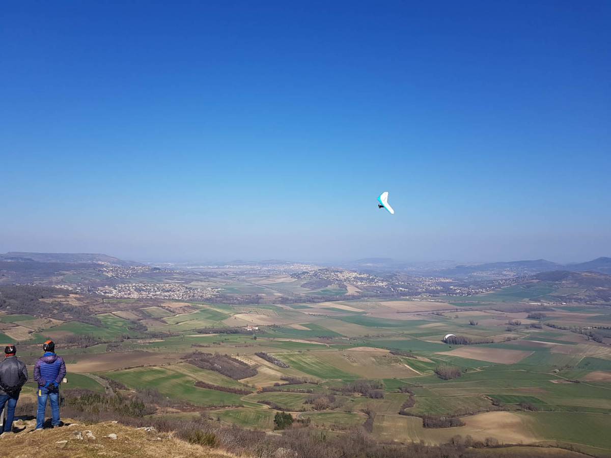
Located in the Puy-de-Dôme, the Puy de Saint-Sandoux is a very popular paragliding site for both beginners and experienced pilots. Easily accessible from Clermont-Ferrand, it offers an ideal environment for improving your skills and enjoying a variety of flights.
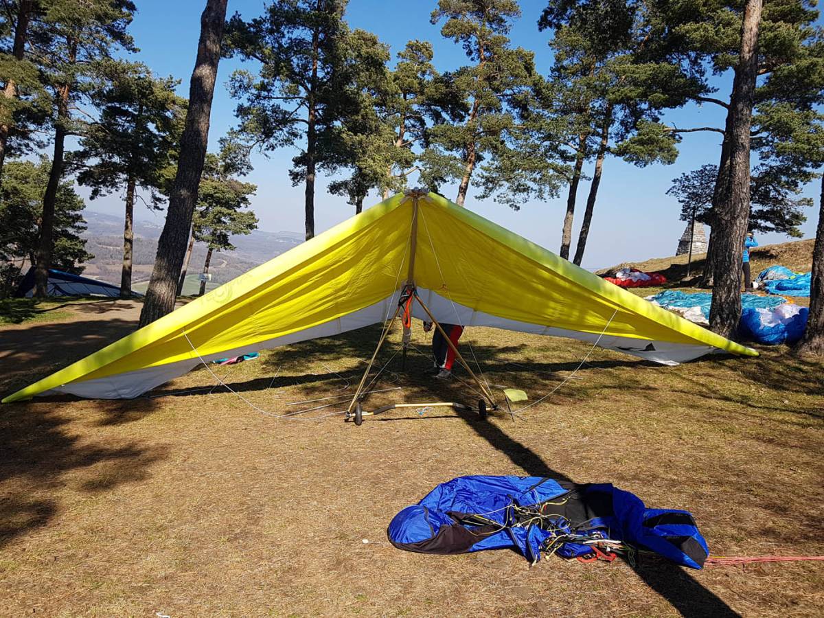
This site is open to both paragliders and hang gliders.
Here are two enhanced Google Maps and Google Earth maps that provide a clear overview of the site, the various decorations, the route to follow for car rotations and access on foot. These maps also clearly show the TMA boundary to avoid inadvertently flying into restricted airspace.
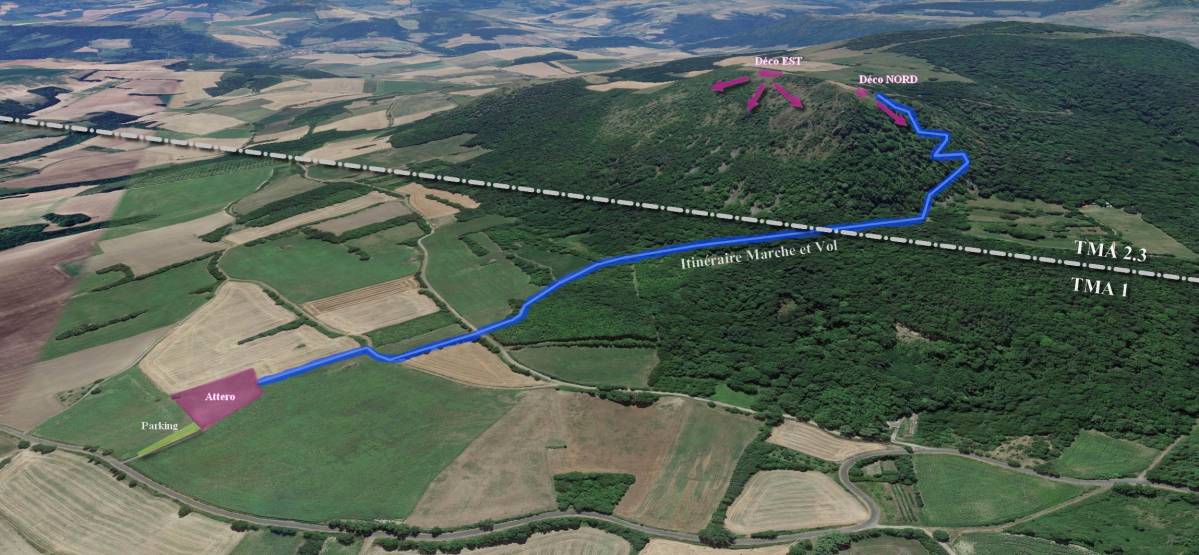
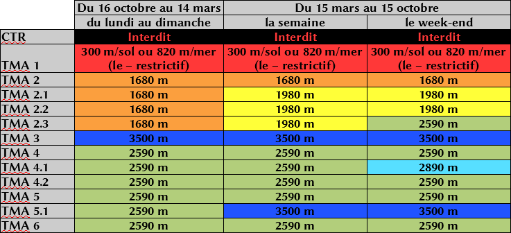
The two take-off points at Puy de Saint Sandoux are located in TMA 2.3, which corresponds to the following authorised altitudes:
The boundary between TMA 2.3 and TMA 1 is located just at the foot of Puy de Saint Sandoux below the take-off points (see attached map). The landing area is in TMA 1 at an altitude of 539 metres.
300 metres above ground level or 820 metres above sea level every day throughout the year. For the Saint Sandoux site, the first scenario is the most interesting for free flight, i.e. 300 metres above the 539 metres of the landing area. It is therefore possible to pick up a thermal above the landing area and climb to 839 metres, which is roughly the take-off altitude, but if the drift is not sufficient to return to TMA 2.3 above Puy de Saint Sandoux, it is not possible to fill up completely to reach the ceiling, even if the cumulus above is pulling more than generously!
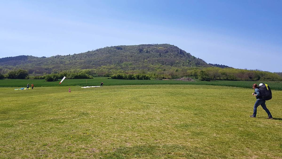
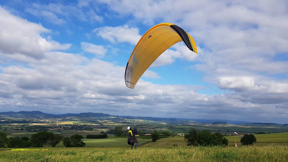
It's no coincidence that the Puy de Dôme schools bring their students to Saint Sandoux for introductory courses. This site is perfect for taking your first flights in complete safety. The landing area is visible from the take-off point, the flight is long enough to do a few exercises, and the landing area allows you to fully understand the usefulness of a PTU.
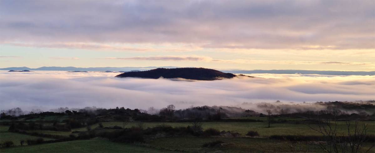
Paragliding at Puy de Saint Sandoux is also a perfect spot to relax after work and enjoy the incredible colours of the Auvergne sunsets. The returns are often generous and soaring is effective as soon as the wind picks up.
Those who enjoy long distances will appreciate this site as a starting point for cross-country flights towards the south. To do this, simply follow TMA 2.3 and the motorway or try the Cézallier high plateau. It's fairly easy to get a lift back and you can return quickly via the motorway.
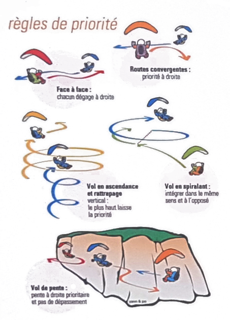
As the site is very busy, it is worth reminding everyone of the priority rules. The site is not large and it quickly becomes necessary to take care when joining the circuit at take-off and to pay attention to others in flight, especially in the evening with the backlighting of the sunset.
Unlike the Puy de Dôme flying site and other major sites in Auvergne or the Alps, the landing at Saint Sandoux is not the most forgiving. It is a very good place to learn how to make a controlled approach in a PTU and make a smooth final approach to the target landing point.
The terrain slopes slightly towards the north-west. This configuration makes landing easier in a north wind. However, be careful, as in a south wind the terrain is quite slippery and can be surprising. Also be careful in easterly winds, where the glide ratio of the wing rivals the slope of the terrain. The road is not far away! It is always better to approach the terrain diagonally than from the east.
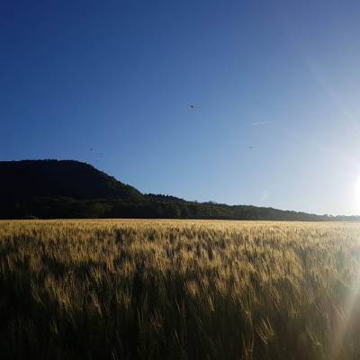
You should also take into account the numerous crops surrounding the area, which can be quite tall at certain times of the year. Sunflowers, maize, wheat and other cereals are all obstacles that must be avoided. A clean approach is essential!
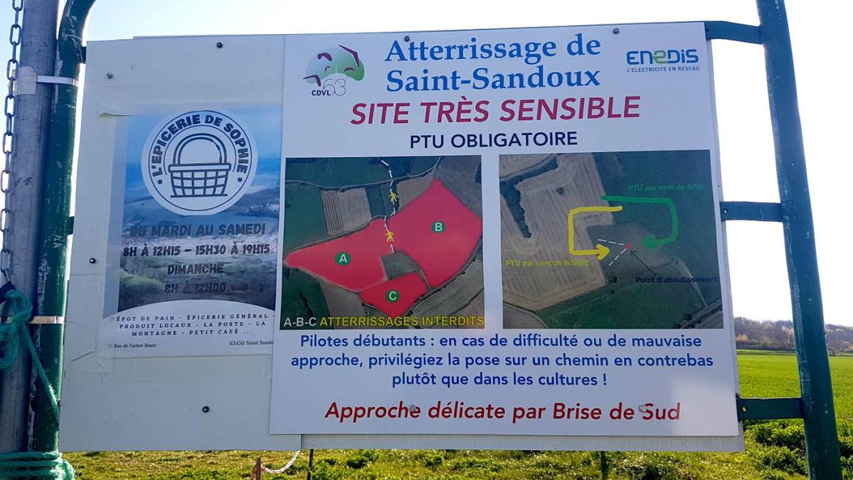
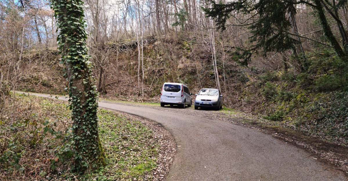
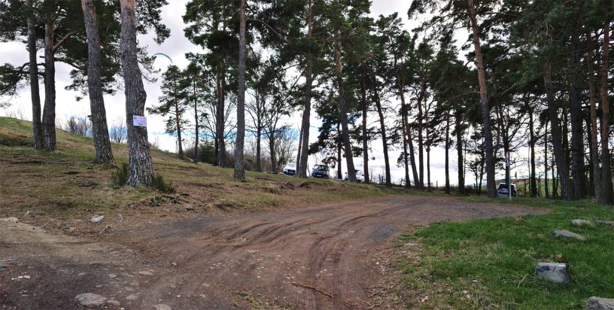
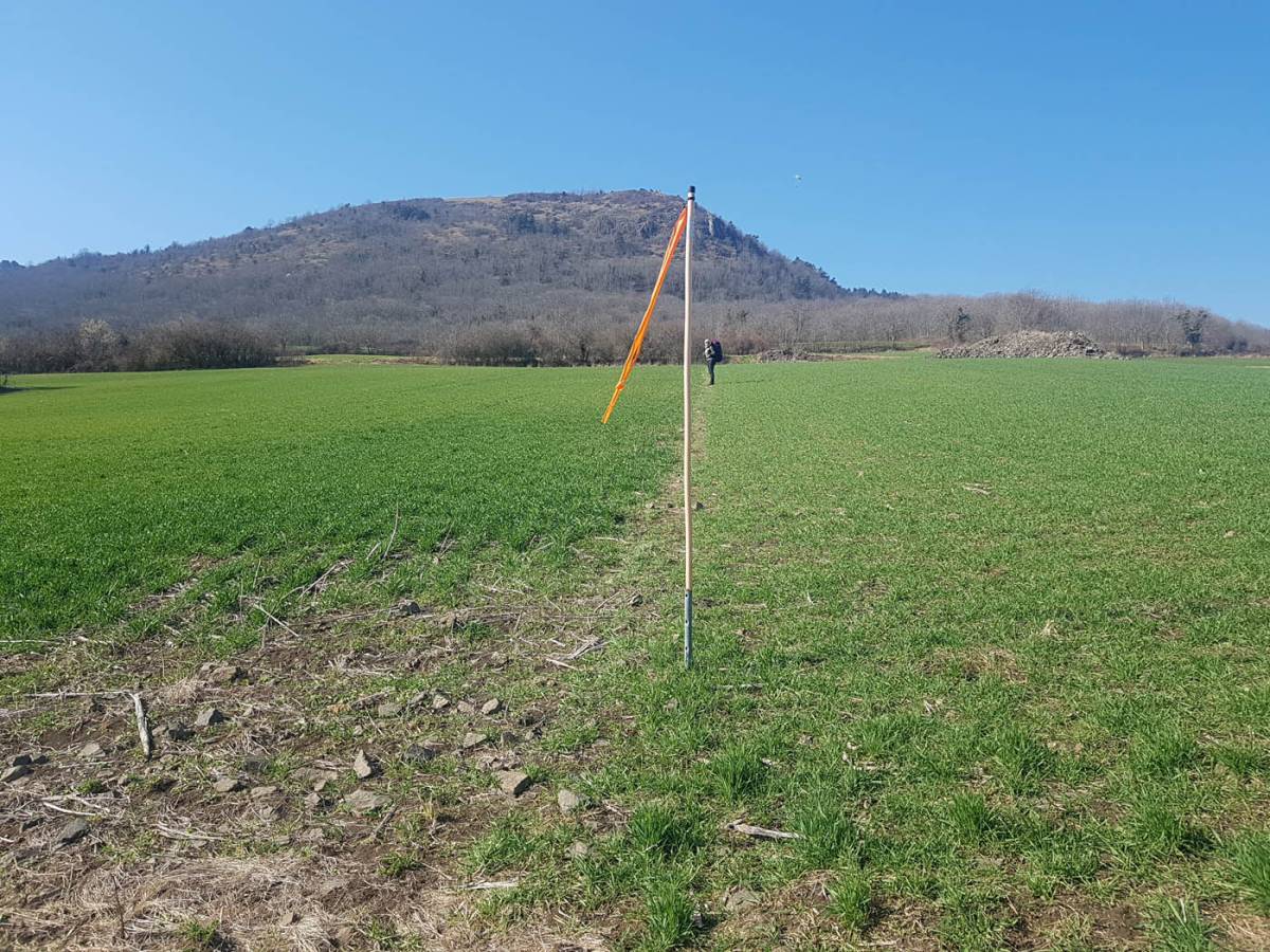
If you want to get some exercise, the climb takes 30 minutes for a regular walker (240 metres of elevation gain). As indicated on the official CDVL63 sign, there is a trail between field A and field B. The entrance to this trail is marked by a flag. A second field is crossed via the northern edge, and then you simply follow the path through the forest to the sign marked ‘DECOLLAGE’. There, fabric markers will guide you across the scree and through the forest to arrive directly at the northern launch site.
Please note that this walking and flying route, which is very pleasant in dry weather, can become slippery in wet weather.
The flag at the top of the field marking the passage between the fields:
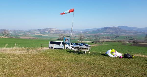
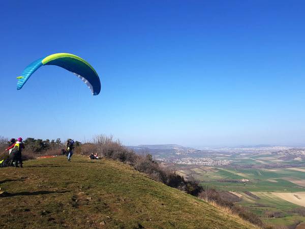
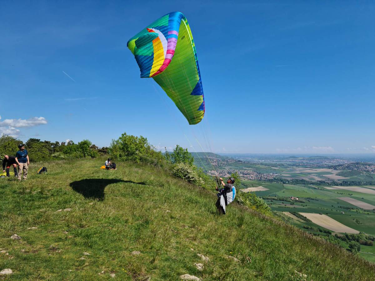
Quite small and steep, the northern take-off allows you to take off one by one facing the breeze or the wind coming from Clermont Ferrand. When the wind is well aligned, this take-off is easy, but it can become more tricky when there is an easterly component. The small hillock with the cross to the north-east can cause some turbulence, and you should expect a slight wind vane effect when the wing reaches its zenith.
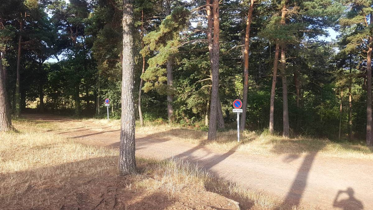
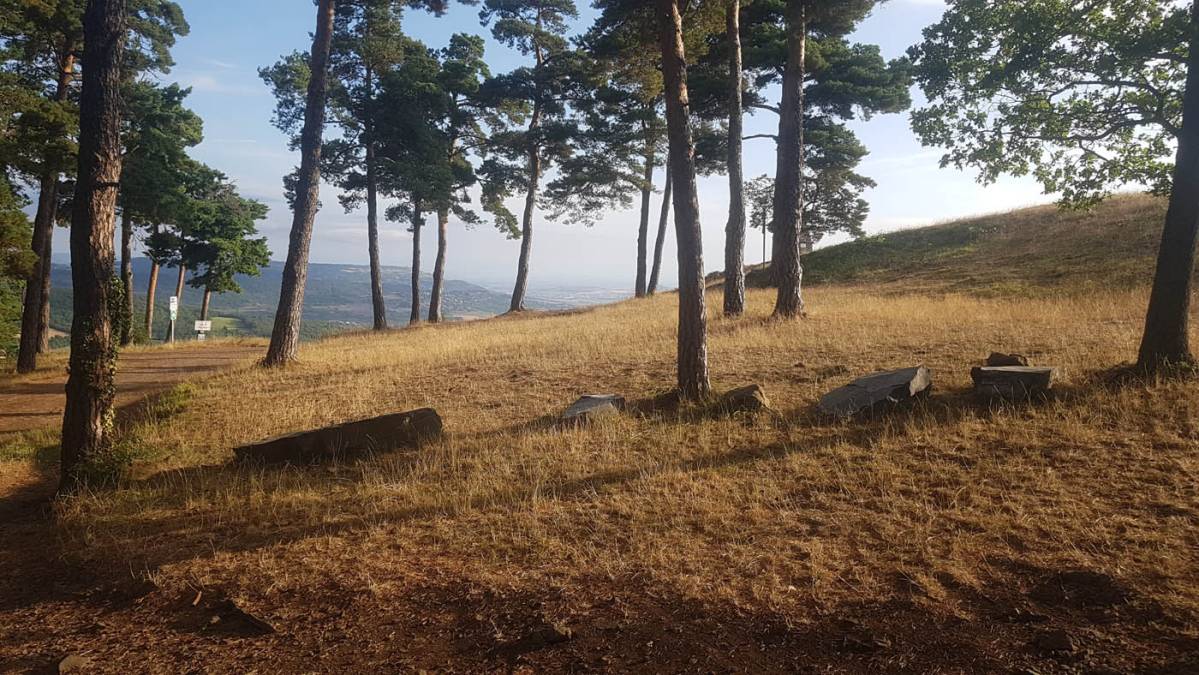
The preparation area is located behind the pine trees (beware of processionary caterpillars in spring). It is large enough for several pilots to prepare at the same time. Vehicles should be parked behind the pine trees so as not to obstruct any emergency services. (Please respect the no parking signs).
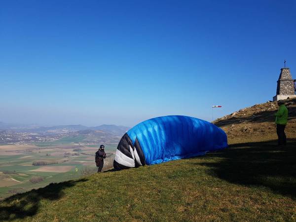
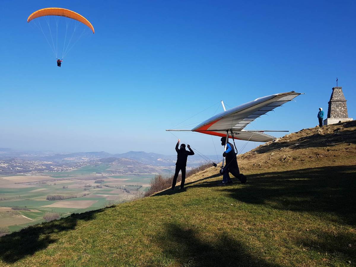
Much more generous than the northern launch area, the eastern launch area allows several pilots to take off at the same time facing the Limagne valley to the east. This launch area also allows for slightly crosswind take-offs to the north-east and south-east. It is not uncommon to see paragliders flying in Saint Sandoux and Corent in the south at the same time.
The thermal is located at the northern tip of Puy de Saindoux, near the rocks. When leaving the launch area, turn left and follow the ridge to the cross. However, the eastern launch area also works very well far from the relief. If you move a little closer to the landing area, it is not uncommon to find good thermals that shift back above the launch area. Be careful not to fill up too far ahead, though. The TMA boundary is right at the foot of the launch site!
As for the preparation area south of the eastern launch site, it allows you to carry out your pre-flight checks in peace, sheltered from the wind. This long area also allows you to rest at the top when the wind is coming from the north.
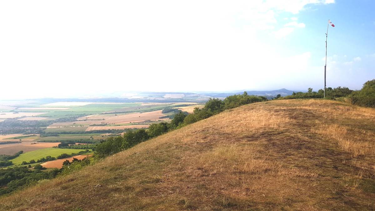
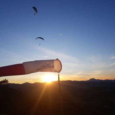
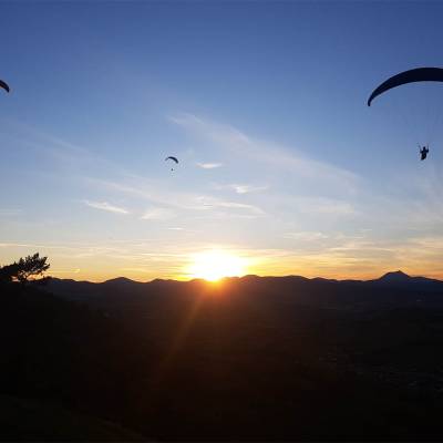
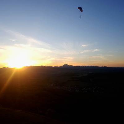
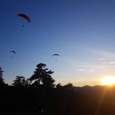
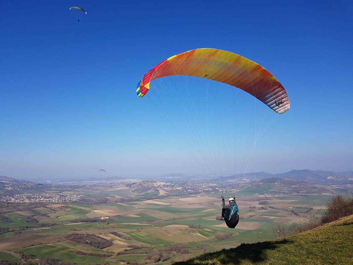
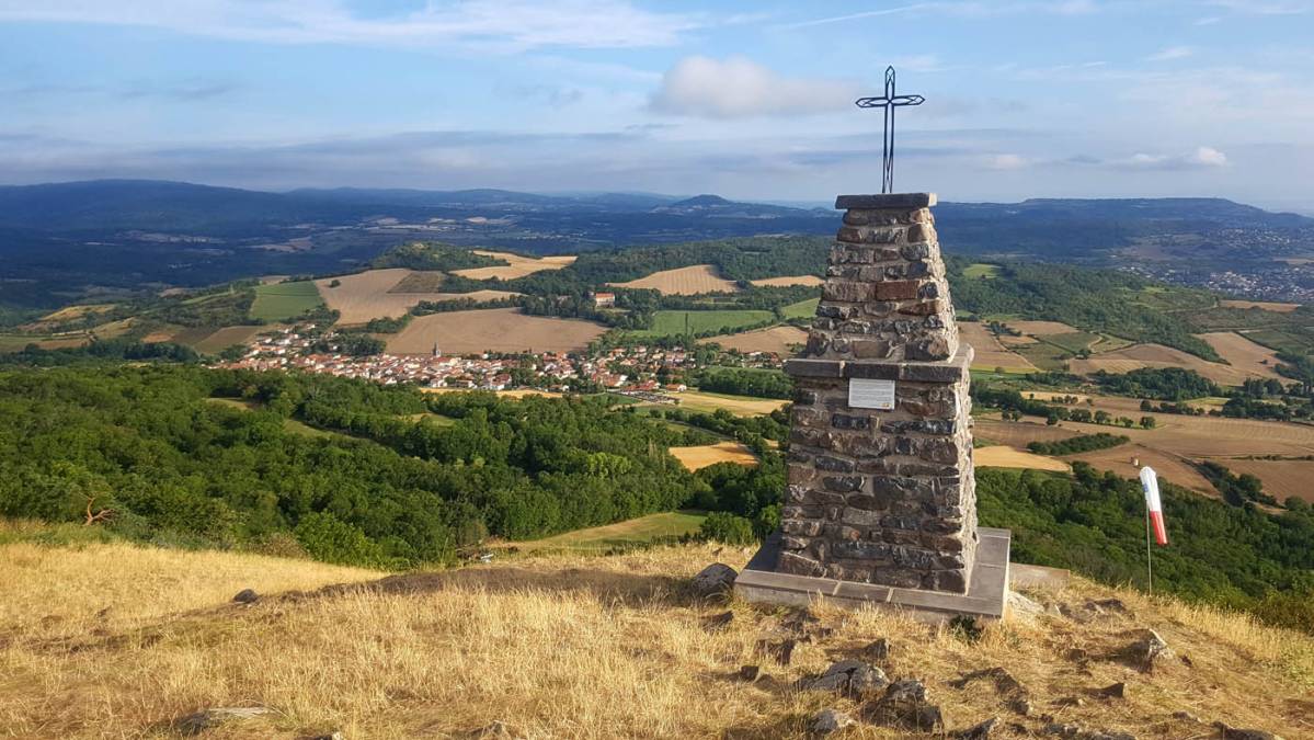
The cross known as Saint Sandoux is located near the summit of Puy de Saint Sandoux (787 metres above sea level) at the northern take-off point and the windsock. It overlooks the village and offers a magnificent view of the valley, with an orientation table nearby.
It was completely destroyed on 11 March 2018 by lightning during a violent storm.
Before its recent destruction, it was approximately 3.50 metres high, including its base.
It was rebuilt on 15 December 2019, thanks to donations and the village craftsmen.
Saint Sandoux remains a benchmark site for all hang gliders in the Puy de Dôme. Since the first hang gliding flight from the summit of Puy de Dôme on 31 October 1973, free flight has become increasingly popular in the Puy de Dôme and throughout France. The Saint Sandoux site was therefore a benchmark for hang gliders for a long time. Since the advent of paragliding, hang gliders have become rarer at the summit, but passionate pilots continue to climb with their rigid wings to the Croix and launch themselves among the paragliders.
