Would you like to know more about the weather forecasts for more serene paragliding?
Paragliding is a light, unpowered aircraft, and is highly sensitive to weather conditions such as wind and rain, or any other kind of precipitation. Paragliders fly and glide through the air at a certain speed. Like an airplane, it is this speed that enables it to create lift and glide. In calm air, a paraglider moves forward at a speed of between 30 and 40 km/h. As long as the wind speed is below these values, the glider moves forward, but if the wind speed exceeds 35-40 km/h, the glider will find itself in reverse, and that's when the problems start. Precipitation also has an impact on the weight and porosity of the glider. A heavy, wet glider flies very poorly, if at all. For all these reasons, paragliding requires close attention to weather conditions.
Before planning a paragliding flight, it's crucial to take note of the various weather forecasts available the day before, especially as there are now so many tools available.
So you can know with relative certainty what the air mass will be like. Wind at take-off, wind at altitude, temperature, risk of precipitation, thermal conditions...
In short, with these numerous tools, it's possible to know the day before whether the following day will be more or less suitable for free flight, or totally unsuitable (rain or strong wind). But if the forecast is favorable for flying, it's really only on the day of launch that you can confirm the previous day's forecast definitively, and know whether it's possible to fly or not.
Numerous weather forecasting applications are now available for paragliding.
Here's an overview of the most popular applications:
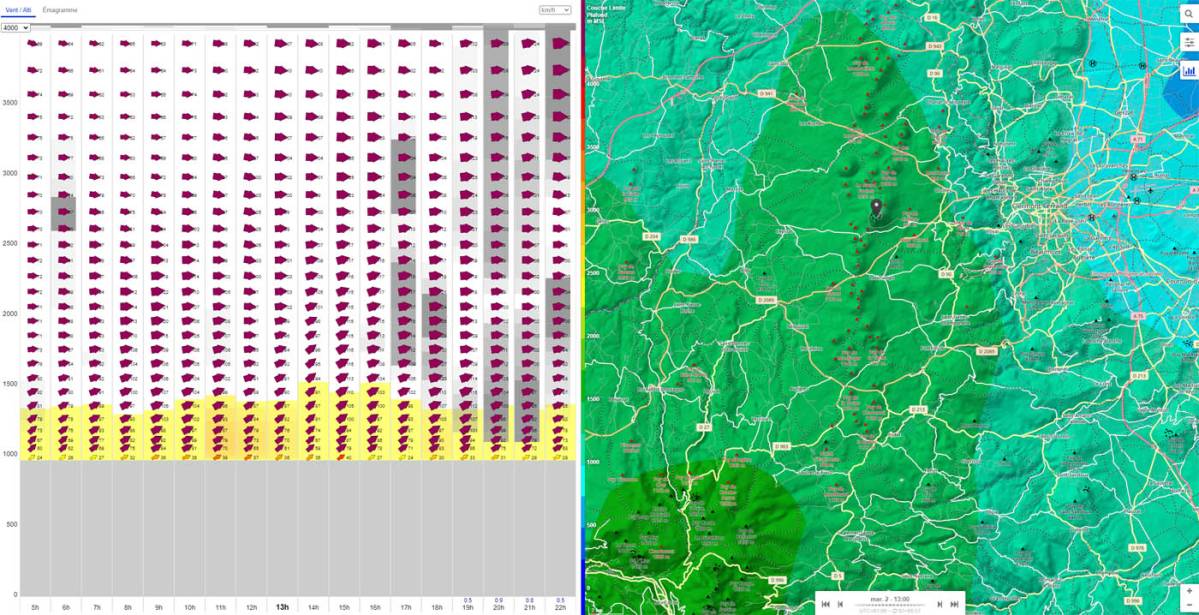
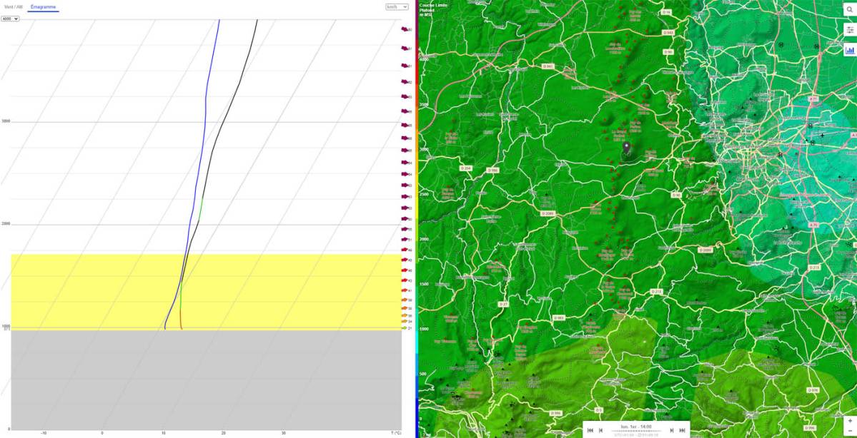
This is perhaps the most popular tool among paragliders. With just a few clics, you can estimate the wind at different altitudes at a given location, along with the associated emagram. The application also provides a wealth of other useful information, thanks to a compact and efficient menu. The free version of the application gives access to all forecasts for random days of the week. The full version gives access to all days of the week.
Website : https://meteo-parapente.com/


So sober and austere, yet so effective that mountain enthusiasts can't do without it. The Meteociel application cross-references all existing weather models available for France with the American GFS (Global Forecast System ) and WRF (Weather Research and Forecasting ), as well as the French models AROME (Application de la recherche à l'opérationnel à mésoéchelle ) and ARPEGE (Action de Recherche Petite Echelle Grande Echelle ).
By using the forecasts from these different models, it is possible to get a good idea of the weather conditions (wind and temperature) prevailing at a given altitude and location.
The GFS forecasts below correspond to the high-altitude mode. On Météociel, all information is provided for a given geopotential, i.e. a pressure altitude expressed in Z. (z850,z800,z700,z600…).
To find out what conditions are expected at the top of the Puy de Dôme, for example, you need to refer to the z850 column (850 Hpa), which is equivalent to an altitude of around 1,500 metres, depending on the day's pressure. The model then gives wind direction and strength at this altitude, as well as expected conditions in the lower and upper layers.
Website: https://www.meteociel.fr/
Meteoblue is a really interesting application for forecasting the next few days' weather for all air sports, including paragliding. Like Météo France, Météoblue provides multi-day forecasts showing wind speed and direction, cloud cover and temperature. The tool also offers a highly realistic graphic representation of wind flow at different ground heights.
This is the reference service for the Sancy massif, the Chaîne des Puys and the Puy de Dôme. Far from an automated forecast, Meteovergne forecasts are all appraised by two expert forecasters. For a subscription fee of 20 euros, you can access reliable, consolidated forecasts for all paragliding flights in the Puy de Dôme.
Website: https://www.meteovergne.com/
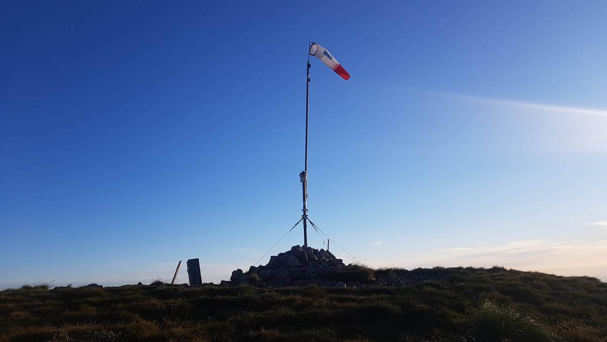
In addition to the weather forecasts provided by the previous tools, the second step is to compare these forecasts with the real-time readings of the various Holfuy or PiouPiou weather beacons.
On Freedom Parapente you can easily consult all the Holfuy beacons in the region on the Puy de Dôme weather beacon page.
You can also find all these beacons on sites such as Spotair or Openwindmap.
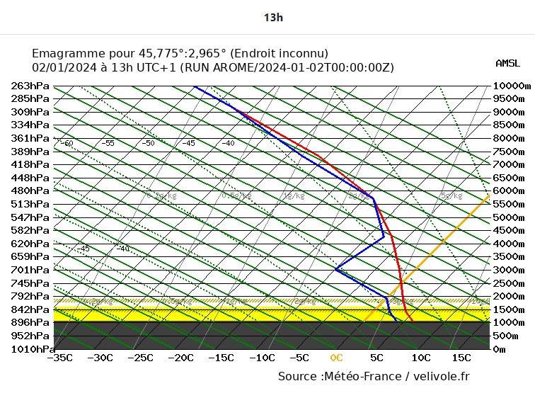
An emagram is a representation of the atmospheric state at a given time and place. The emagram actually comprises two main curves - the temperature versus altitude curve (in red on velivole.fr) and the dew point versus altitude curve (in blue on velivole.fr). The space between these two curves represents the humidity level. If the two curves cross, condensation occurs and a cloud forms.
The special feature of this graphical representation is the temperature axis, which is inclined at 45° to a conventional graphical representation. This means that if the temperature is constant at all altitudes, the red line will not be vertical, but inclined at 45° to the right.

To understand everything about paragliding weather, we recommend Jean Oberson's complete video course: see the video >>.
Warning: brace yourselves, the video is almost 2 hours long!

